
Search Term Record
Metadata
Name |
Imperial Irrigation District |
Number of Photo records |
91 |
Related Records
-
-
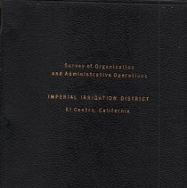
Book titled: Survey of Organization and Administrative Operations of the Imperial Irrigation District.
Book
Record Type: Library
-
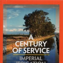
Magazine / pamphlet titled: Profile of the Imperial Irrigation District
Magazine
Record Type: Library

-
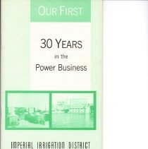
Our First 30 Years in the Power Business. Published by Imperial Irrigation District.
Pamphlet
Record Type: Library
-
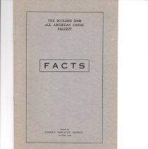
Pamphlet issued by the Imperial Irrigation District titled: The Boulder Dam All American Canal Project - Facts. Also the cover letter from IID when they sent this booklet out to "Assessment Payers" dated Nov. 12, 1924.
Pamphlet
Record Type: Library
-
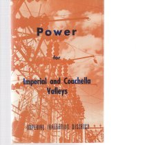
Pamphlet titled: Power for Imperial and Coachella Valleys. Published by the Imperial Irrigation District
Pamphlet
Record Type: Library
-
The Colorado River Flood Protection Works of Imperial Irrigation District, History and Cost by M. J. Dowd.
Book
Record Type: Library

-
2012.22.3033 - Print, Photographic
Men reading map outside of Imperial Irrigation District's main office building in Imperial.
Record Type: Photo
-
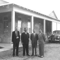
2012.22.3381 - Print, Photographic
Four unidentified men standing by the Imperial Irrigation District's main office building in Imperial.
Record Type: Photo
-
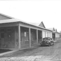
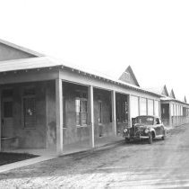
2012.22.3382 - Print, Photographic
Car parked by the Imperial Irrigation District's main office building in Imperial.
Record Type: Photo
-
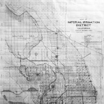
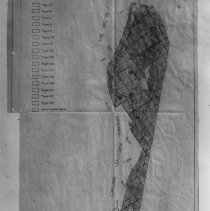
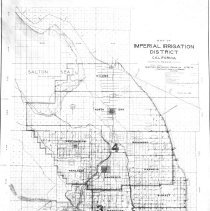
2012.22.3565 - Print, Photographic
Photo of Imperial Irrigation District Map showing area above the Salton Sea dated June 2, 1921
Record Type: Photo
-
2012.22.3566 - Print, Photographic
Photo of Imperial Irrigation District showing Southern Pacific Co patented lands dated 1929.
Record Type: Photo
-
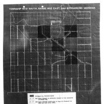
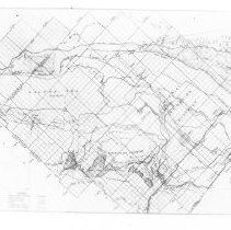
2012.22.3567 - Print, Photographic
Photo of Imperial Irrigation District Map of 1930 Survey
Record Type: Photo
-
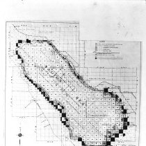
2012.22.3568 - Print, Photographic
Photo of Imperial Irrigation District Map, showing irrigatible land.
Record Type: Photo
-
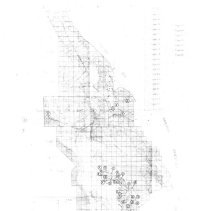
2012.22.3569 - Print, Photographic
Photo of Imperial Irrigation District Map of Imperial County, showing irrigatible land.
Record Type: Photo
-
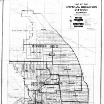
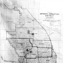
2012.22.3571 - Print, Photographic
Photo of Map of Imperial Irrigation District showing voting precints and directors divisions dated December 1925.
Record Type: Photo
-
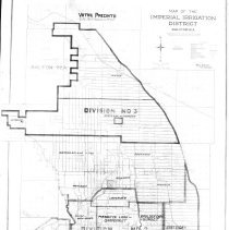
2012.22.3572 - Print, Photographic
Photo of Map of Imperial Irrigation District showing voting precints dated 1/1928.
Record Type: Photo
-
2012.22.3573 - Print, Photographic
Photo of Map of Imperial Irrigation District showing election districts prior to Nov. 11, 1924.
Record Type: Photo
-
2012.22.3574 - Print, Photographic
Photo of Map of Imperial Irrigation District showing districts sunbequent to Nov. 11, 1924. Election map.
Record Type: Photo
-
2012.22.3575 - Print, Photographic
Photo of Map of Imperial Irrigation District acres dated June 12, 1924.
Record Type: Photo